

The high alpine ‘Mainzer Höhenweg’ runs through the Pitztal Alps and has a little brother: the ‘Kleiner Mainzer Höhenweg’. Both are maintained by the Mainz section of the German Alpine Club.
The Kleiner Mainzer Höhenweg opens up unusual perspectives and panoramic views of Mainz, the surrounding countryside and villages as well as the Ober-Olmer and Lenneberg forests. With a total length of 31 kilometres, the trail leads south around the city of Mainz. The hiking route leads from Laubenheim via the Gauberg to Ebersheim, Klein-Winternheim, Lerchenberg and Finthen all the way to Mombach. There is a difference in altitude of 155 metres between the lowest point of the Mainz basin and the Rhine-Hessian plateau. On a clear day, hikers always have a view of some low mountain range from the Laubenheimer Höhe. The panorama stretches from the Rheingau, across the Hochtaunus and the Frankfurt skyline to the Odenwald. The highest point of the route is near Mainz-Lerchenberg at 240 metres.
At many points, the route touches the transport network of the Mainz public transport company, making it easy and uncomplicated to access and return by public transport. There are marked access routes to the tram stops and railway stations.
Mainz still has very much the air of a fortified city. Along the route, you learn about the eventful history of the city, which is reflected in its walls and fortifications. The 21 km walk brings you through the city centre and adjacent districts to Kastel. There are 20 points of special interest – from Roman times, to the Middle Ages and the 19th century federal fortification – along the route. They are marked on the map, with detailed explanations in the brochure. The "Festungsroute" brochure is available at the Tourist Service Center at Brückenturm (price € 0.50).
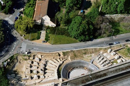
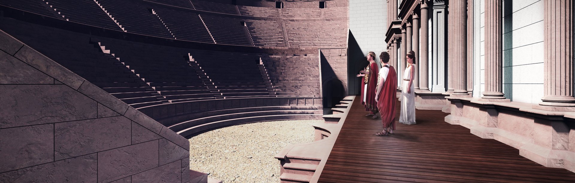
Find out what life in Mainz was like in Roman times. The Roman route covers around 13.5 km and brings you along 19 points of special interest. Everything is explained in detail in the "Römerroute" brochure that also includes a map. The "Römerroute" brochure is available at the Tourist Service Center at Brückenturm (price € 0.50).
Duration: approx. 3 hours
It connects Mainz and the suburbs and is one of the most popular routes for walking, jogging or cycling: The ‘Three Bridges Walk’. The easy circular route leads along particularly beautiful sites to the right and left of the Rhine and Main.
It starts at Stresemann-Ufer in front of the town hall and continues upstream along the Malakoff Terrace past the Hyatt Regency beer garden, over the swing bridge at Winterhafen harbour to Victor Hugo-Ufer. Here, Michelin-starred chef Frank Buchholz invites you to the ‘Bootshaus’ restaurant to enjoy culinary delights with a view from the panoramic windows.
The route continues steeply up to the first river crossing of the walk: over the railway bridge. From the bridge, you have a marvellous view over the Rhine to Mainz and the Taunus as well as the confluence of the Main and Rhine - the Mainspitze. Once you have crossed the bridge, the path continues past the Gustavsburg sports facilities to the Main bridge, which takes walkers to Kostheim. Passing the parish church of St Kilian and the wine fountain, the route heads towards Kasteler Maaraue.
The course of the Main is followed to the mouth of the Rhine-Main. As you pass the Maaraue outdoor pool on your way down the Rhine, the city skyline of Mainz can be seen opposite. After crossing the small raft harbour bridge, the Kastel beach promenade and the Reduit follow. Here, too, the panoramic view of Mainz is impressive.
Cross the Theodor Heuss Bridge to return to the Mainz side of the Rhine. After this eight-kilometre walk, the numerous wine taverns and pubs in Mainz city centre offer good opportunities for refreshment.
Markt 17 (Domplatz)
55116 Mainz
OPENING HOURS
Monday - Saturday from 10 am - 6 pm
Sundays closed
CONTACT
tourist(at)mainzplus.com
+49 (0) 6131 - 242 888
Tickets
If you have any questions about the tickets you have bought from us, please contact:
vvk.tourismus(at)mainzplus.com
+49 (0) 6131 - 242 888

Click here or scan the QR code and download the free MAINZ app!